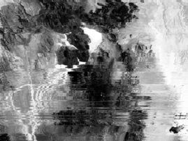
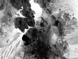
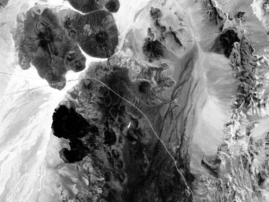
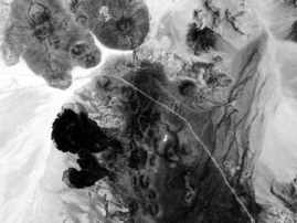
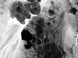
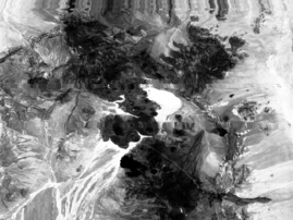
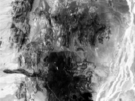
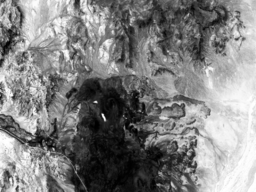
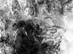
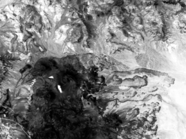
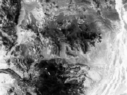
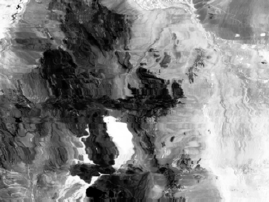
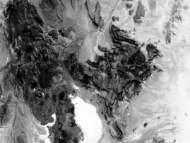
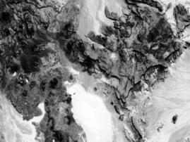
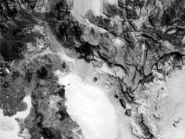
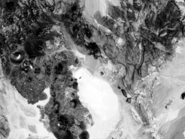
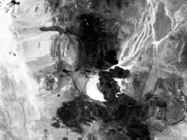
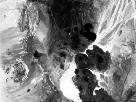
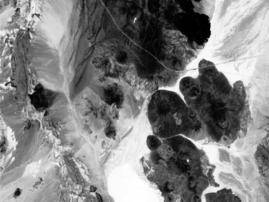
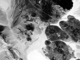
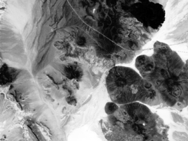
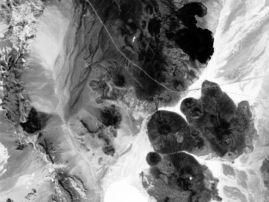
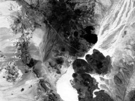
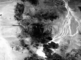
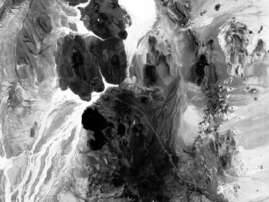
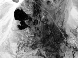
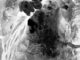
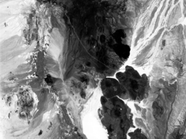
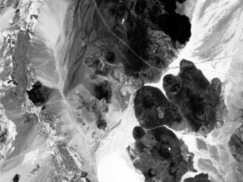
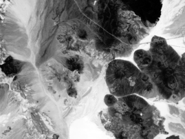
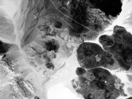
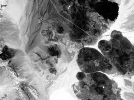
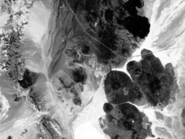
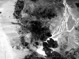
AirMISR Red Band Browse Images from the LUNAR_LAKE_2000 Field Campaign
June 11, 2000
| Run # | Camera Viewing Angles |
DF 70.5° fore |
CF 60.0° fore |
BF 45.6° fore |
AF 26.1° fore |
AN 0° or nadir |
AA 26.1° aft |
BA 45.6° aft |
CA 60.0° aft |
DA 70.5° aft |
|---|---|---|---|---|---|---|---|---|---|
| 1 | 180626 | 180821 | 180925 | 181013 | 181057 | 181141 | 181229 | 181333 | 181528 |
| 2 | 182550 | 182745 | 182849 | 182937 | 183021 | 183105 | 183153 | 183257 | 183452 |
| 3 | 184638 | 184834 | 184937 | 185025 | 185110 | 185154 | 185242 | 185346 | 185541 |
| 4 | 190550 | 190745 | 190849 | 190936 | 191021 | 191105 | 191153 | 191257 | 191452 |
| 5 | 192546 | 192741 | 192845 | 192932 | 193017 | 193101 | 193149 | 193253 | 193448 |
| 6 | 194526 | 194722 | 194826 | 194913 | 194958 | 195042 | 195130 | 195234 | 195429 |
| Values represent UTC (hhmmss) for image mid-point in the downtrack direction. | |||||||||