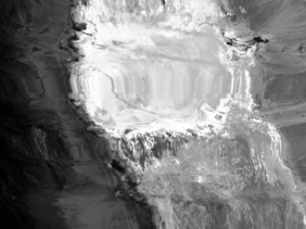
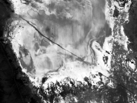
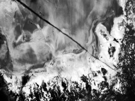
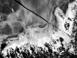
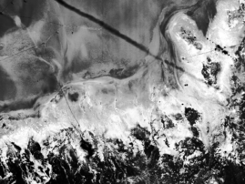
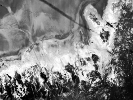
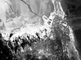
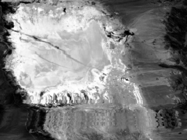
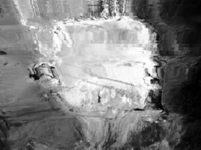
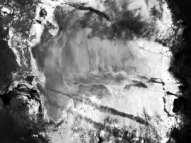
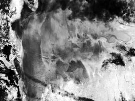
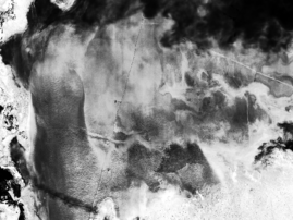
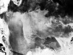
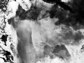
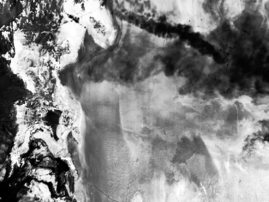
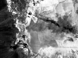
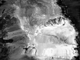
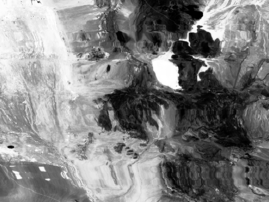
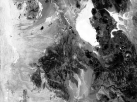
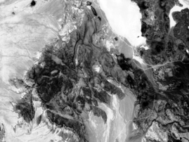
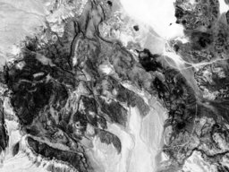
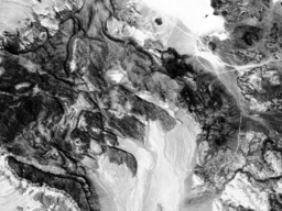
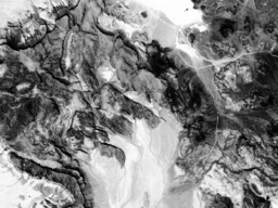
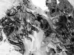
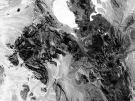
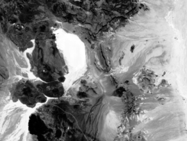
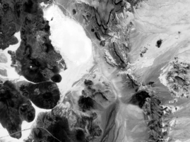
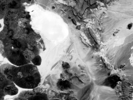
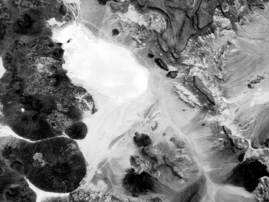
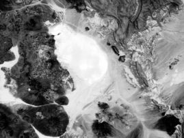
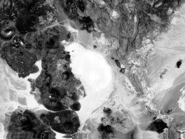
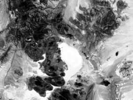
AirMISR Red Band Browse Images from the LUNAR_LAKE_2001 Field Campaign
June 30, 2001
| Run # | Camera Viewing Angles | ||||||||
|---|---|---|---|---|---|---|---|---|---|
|
DF 70.5° fore |
CF 60.0° fore |
BF 45.6° fore |
AF 26.1° fore |
AN 0° or nadir |
AA 26.1° aft |
BA 45.6° aft |
CA 60.0° aft |
DA 70.5° aft |
|
| 1 | 182022 | 182217 | 182320 | 182408 | 182452 | 182537 | 182624 | 182728 | 182924 |
| 2 | 184119 | 184314 | 184418 | 184506 | 184550 | 184635 | 184722 | 184826 | 185021 |
| 3 | 185912 | 190107 | 190211 | 190259 | 190343 | 190428 | 190515 | 190619 | 190815 |
| 4 | 191750 | 191946 | 192049 | 192137 | 192221 | 192306 | 192353 | 192457 | 192653 |
| Values represent UTC (hhmmss) for image mid-point in the downtrack direction. | |||||||||