NASA Earthdata Webinar: Connect to NASA Renewable Energy Data Resources with GIS
NASA Earthdata Webinar: Connect to NASA Renewable Energy Data Resources with GIS
Interested in NASA renewable energy data resources? The NASA data user community is expanding each day beyond the scientist to the teacher in a fourth grade classroom, the homeowner looking to install a solar panel, a coffee shop hoping to reduce their energy costs, to the small sustainable woman-owned farm looking for information that may help forecast future crop planting decisions.
This webinar provides information about how the NASA Atmospheric Science Data Center (ASDC) Distributed Active Archive Center (DAAC), in partnership with the Surface meteorology and Solar Energy (SSE) Project (now called The POWER Project) is addressing the growing user demands through geospatial technologies. A demonstration of the new responsively designed SSE web mapping application, ArcGIS Image Services and additional geospatial capabilities are provided.
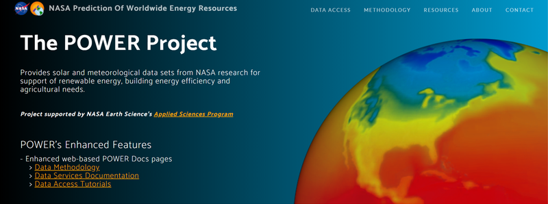
For more information about the NASA SSE Project (now called POWER), please visit The POWER Project
For NASA Earth science data, tools and services, please visit the NASA Earthdata website
Posted on NASA Earthdata YouTube channel on March 31, 2016.