MISR Regional INTEX-B Products |
 |
MISR Regional Imagery: Overview | Products | Data Quality | Map Projection | File Format | View Data | Download Data
There are currently three types of MISR Regional products: Radiance, Aerosol, and Land Surface. Each product summarizes selected parameters from one Level 1 or Level 2 product.
Further information about the Level 1 and Level 2 data products can be found on the INTEX-B data table, and by consulting the Algorithm Theoretical Basis Documents.
Before using MISR Data products, please read the documentation including Data Quality and Versioning statements available from the INTEX-B data table.
Images available on this web site include the following parameters:
| Component Global Georectified Radiance Product (CGGRP): MI3DRDR, MI3MRDR, MI3QRDR, MI3YRDR |
||
|---|---|---|
| Parameter | Definition | Sample |
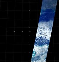
| Radiance | Radiance data for 4 bands and 9 view angles (details on the MISR instrument).
Summary of Level 1 TERRAIN (land) and ELLIPSOID (ocean), Radiance/RQI field. |
 |
| Component Global Aerosol Product (CGAS): MI3DAER, MI3MAER, MI3QAER, MI3YAER |
||
| Parameter | Definition | Sample |
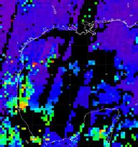
| Optical Depth | Aerosol Optical depth, green (558 nm) band.
Summary of Level 2 AEROSOL, RegMeanSpectralOptDepth field. |
 |
| Component Global Land Surface Product (CGLS): MI3DLSR, MI3MLSR, MI3QLSR, MI3YLSR |
||
| Parameter | Definition | Sample |
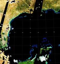
| DHR | Directional Hemispheric Reflectance (DHR). Spectral albedo of the surface in the absence of the atmosphere. Also known as "black sky" albedo.
Summary of Level 2 LAND, LandDHR field. |
 |
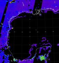
| DHRPAR | DHR integrated over the Photosynthetically Active Radiation (PAR) band.
Summary of Level 2 LAND, DHRPAR field. |
 |
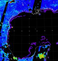
| DHRSW | DHR for a broad shortwave band (400-2500 nm), approximated from visible bands.
Derived from a linear combination of MISR bands found in the Level 2 LAND, DHR field. Weiss et al.1 |
 |
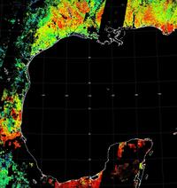
| FPAR | Fractional absorbed Photosynthetically Active Radiation (FPAR). Defined as PAR irradiance absorbed by live vegetation divided by incident PAR irradiance.
Summary of Level 2 LAND, FPARBestEstimate field. |
 |
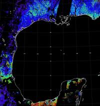
| LAI | Leaf Area Index (LAI).
Summary of Level 2 LAND, LAIBestEstimate. |
 |
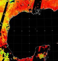
| NDVI | Normalized Difference Vegetation Index (NDVI).
Summary of Level 2 LAND, NDVI field. |
 |
1. Weiss M, Baret F, Leroy M, Begue A, Hautecoeur O, Santer R, "Hemispherical reflectance and albedo estimates from the accumulation of across-track sun-synchronous satellite data," J. Geophysical Res. - Atmospheres, 104 (D18) 22221-22232, September 27, 1999.