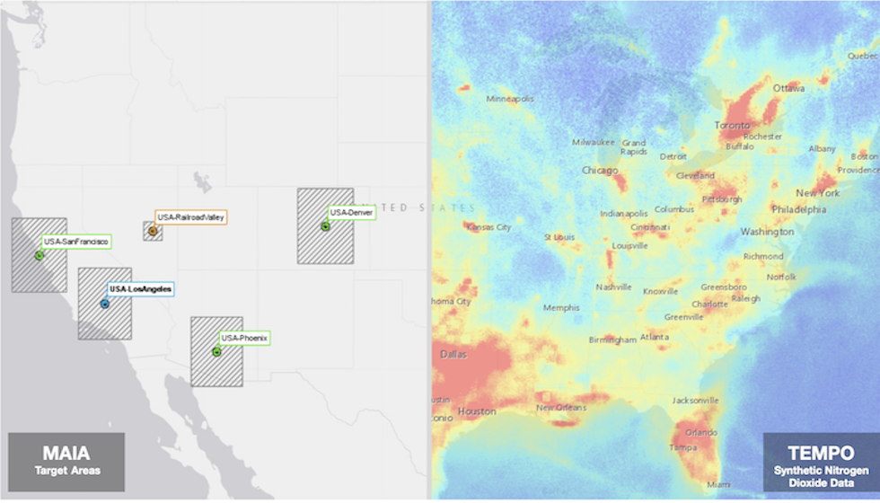
Introduction to MAIA & TEMPO
July 27, 2020, 8 a.m.
Project: TEMPO

The Atmospheric Science Data Center (ASDC)’s Science Outreach Team has made a new interactive ArcGIS StoryMap entitled Introduction to MAIA & TEMPO that gives users a glimpse into two new exciting satellites that will monitor air quality, both of which are scheduled to launch in 2022.
The StoryMap features a clickable global map of the Multi-Angle Imager for Aerosols (MAIA) Mission target areas, which are key areas that the MAIA instrument will observe Particulate Matter (PM) 2.5 and 10, as well as the bounding boxes around each area. For the Tropospheric Emissions: Monitoring of Pollution (TEMPO) Mission, scientists have created a ‘synthetic’ dataset of Nitrogen Dioxide (NO2), which is featured in the StoryMap as interactive data over the contiguous United States. These two Earth-observing satellites will revolutionize how NASA monitors both air quality and pollution from space, as well as their effects on human health.
Explore the StoryMap to learn more about MAIA and TEMPO with the Related URL link below:
Related URLS: https://arcg.is/XyPma