Sensing Our Earth from Above
Sensing Our Earth from Above
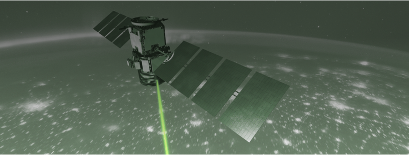
In collaboration with the NASA Langley Research Center’s (LaRC) Science Directorate, the Atmospheric Science Data Center (ASDC) has published an Esri ArcGIS StoryMap entitled “Sensing Our Earth from Above: How NASA Langley Research Center is Taking Lidar to New Heights to Better Understand Our Earth” which shares a multifaceted story of NASA Langley’s development and use of lidar - a core capability at LaRC. TheStoryMap highlights the technological capabilities and successes, including the multiple generations of lidar expertise and innovation, and how Langley’s lidar will continue to enable the next generation of ground, air, and space-borne missions to further new discoveries and science in the future.
Photo credit: Tim Marvel/NASA Langley
Published in December 2020.