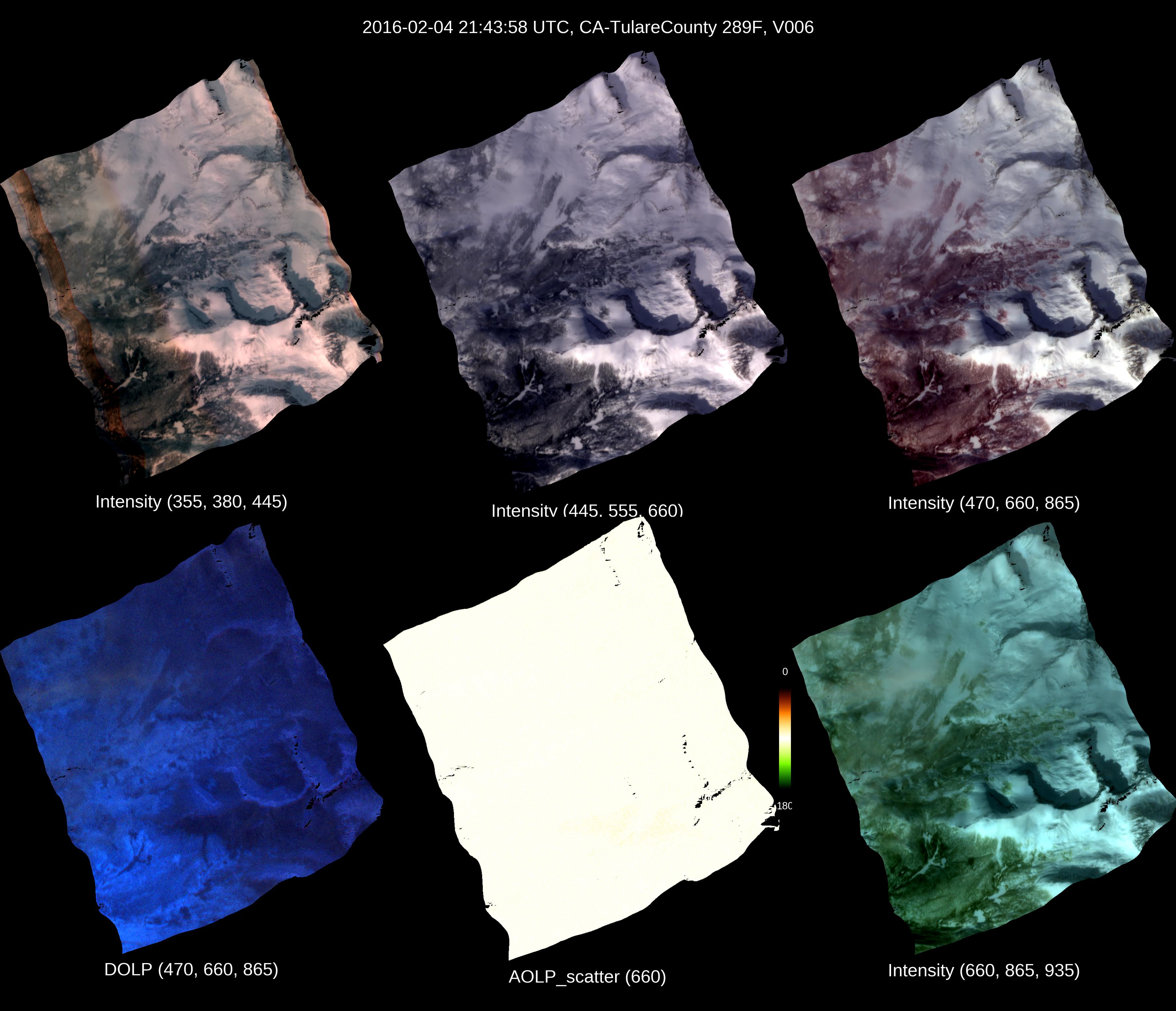
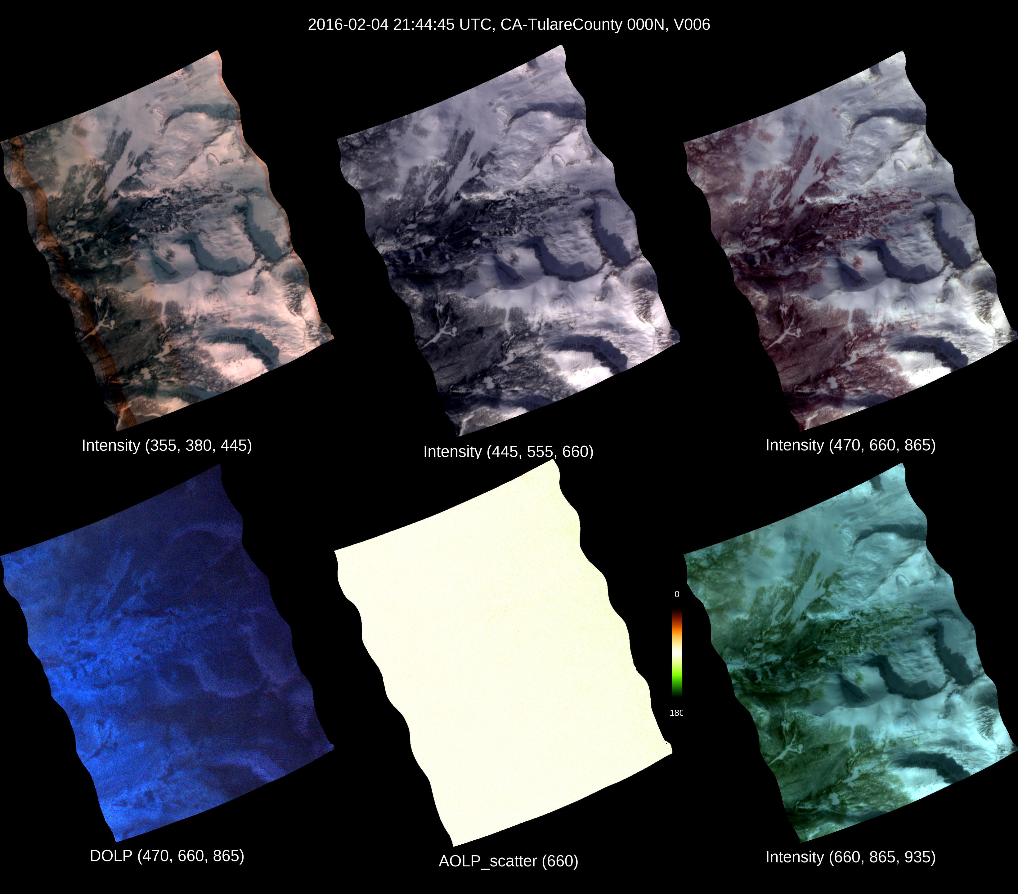
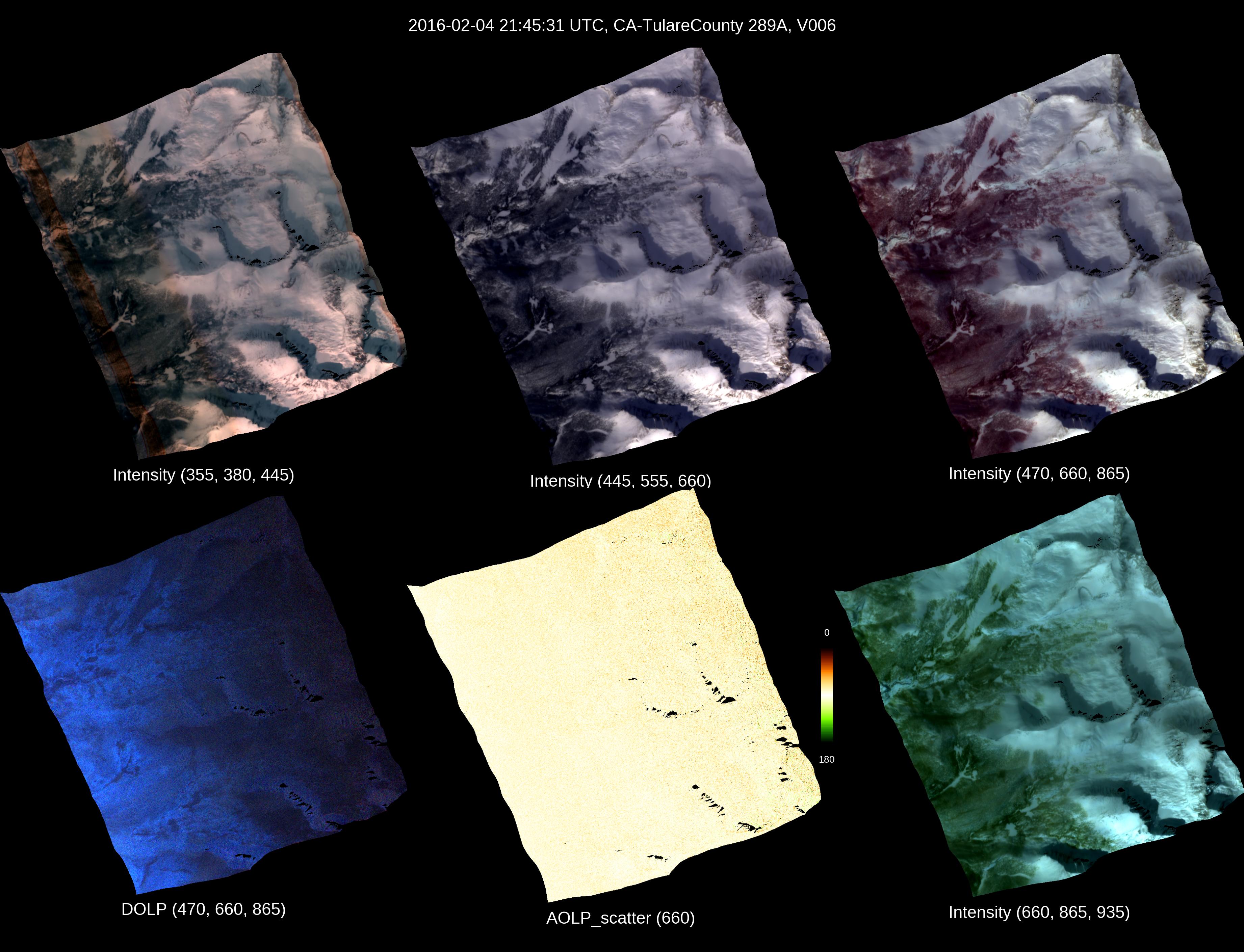
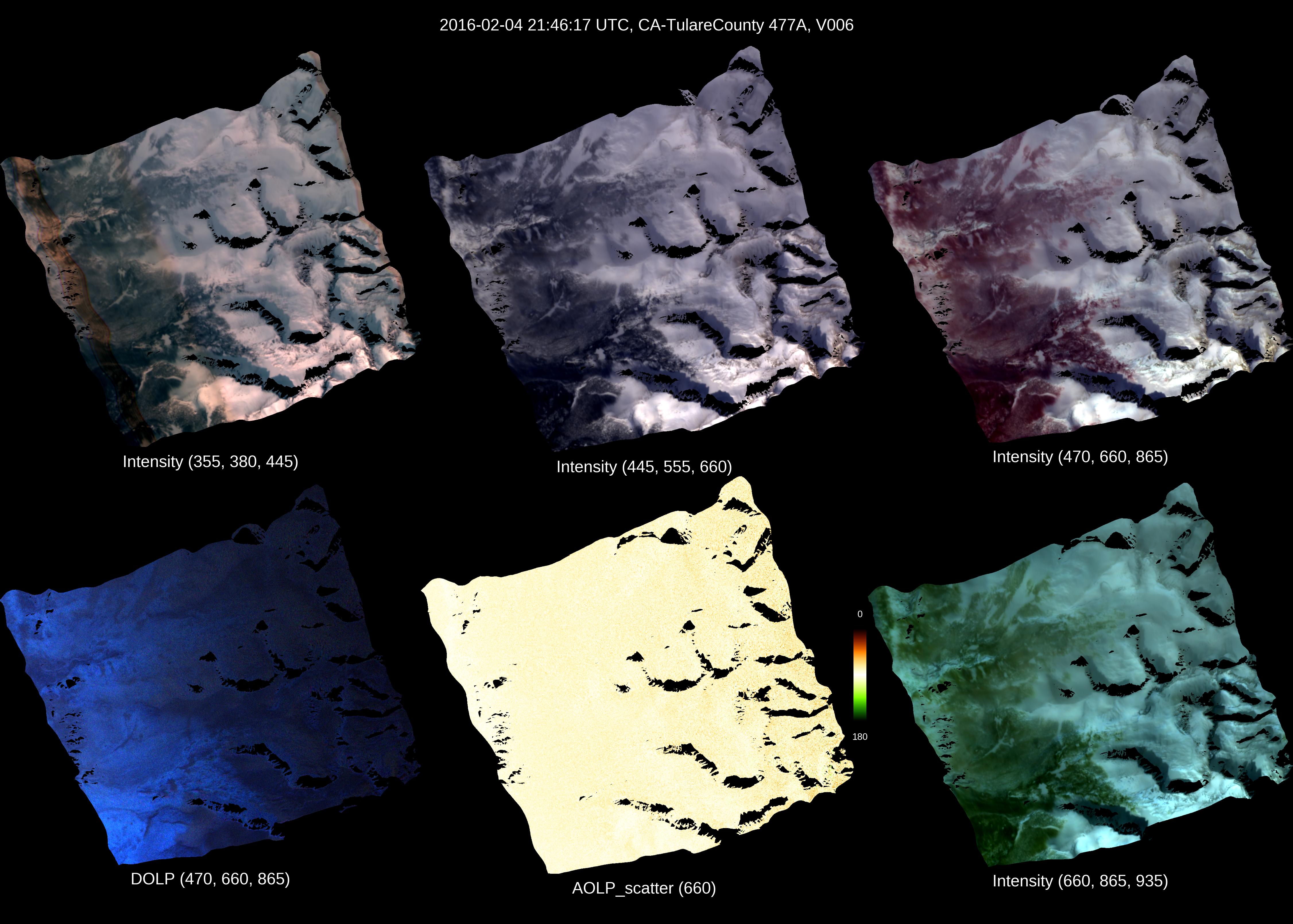
AirMSPI_SPEX-PR_Terrain-projected_Georegistered_Radiance_Data_6 Imagery

Indirect processing uses an estimate of static pointing errors (i.e. geometric calibration).

Direct processing uses ground control points within the flight line of interest.

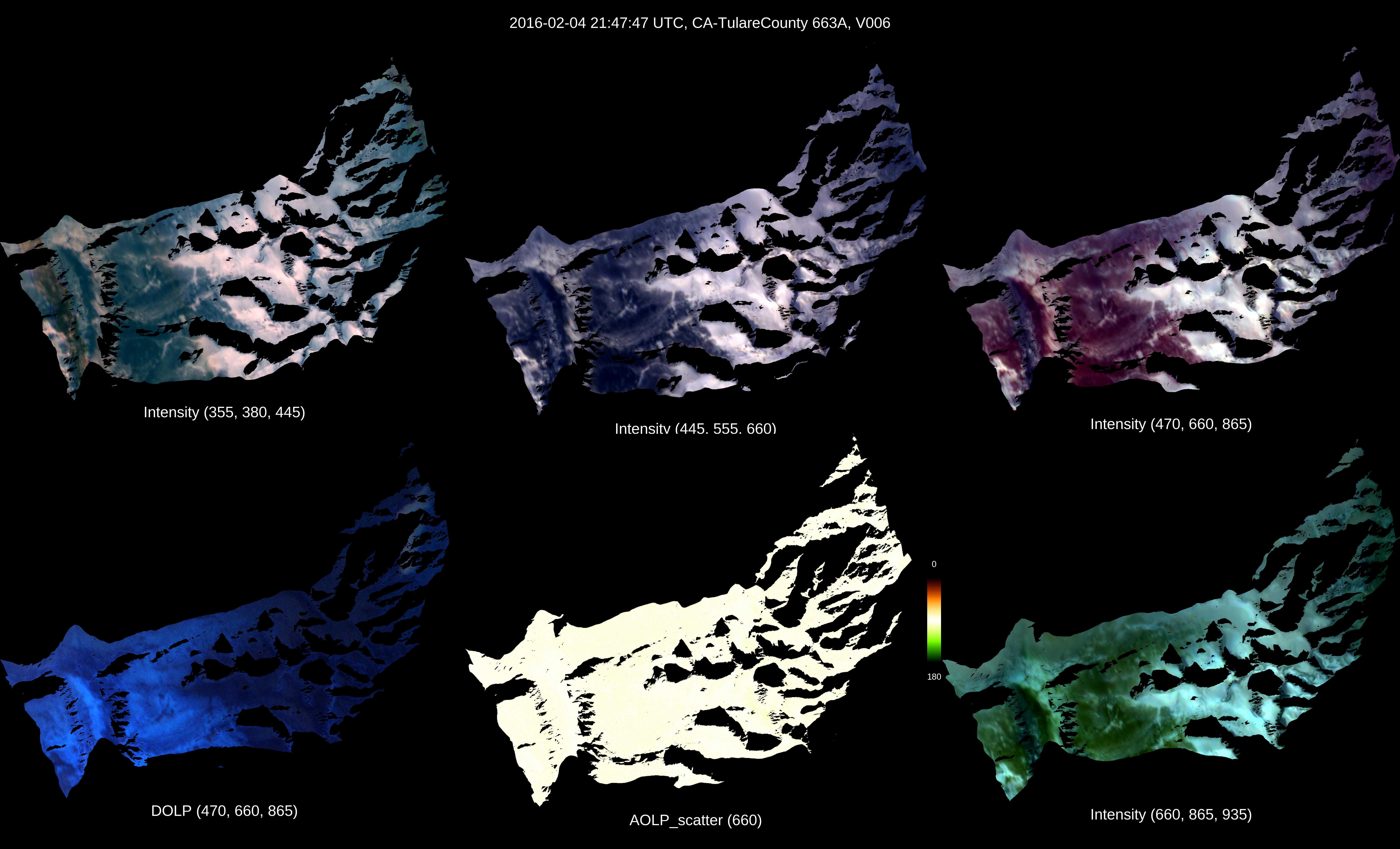
CA-TulareCounty Direct

20160204 - 214747Z

imagery thumbnail
Full JPG | HDF | KML

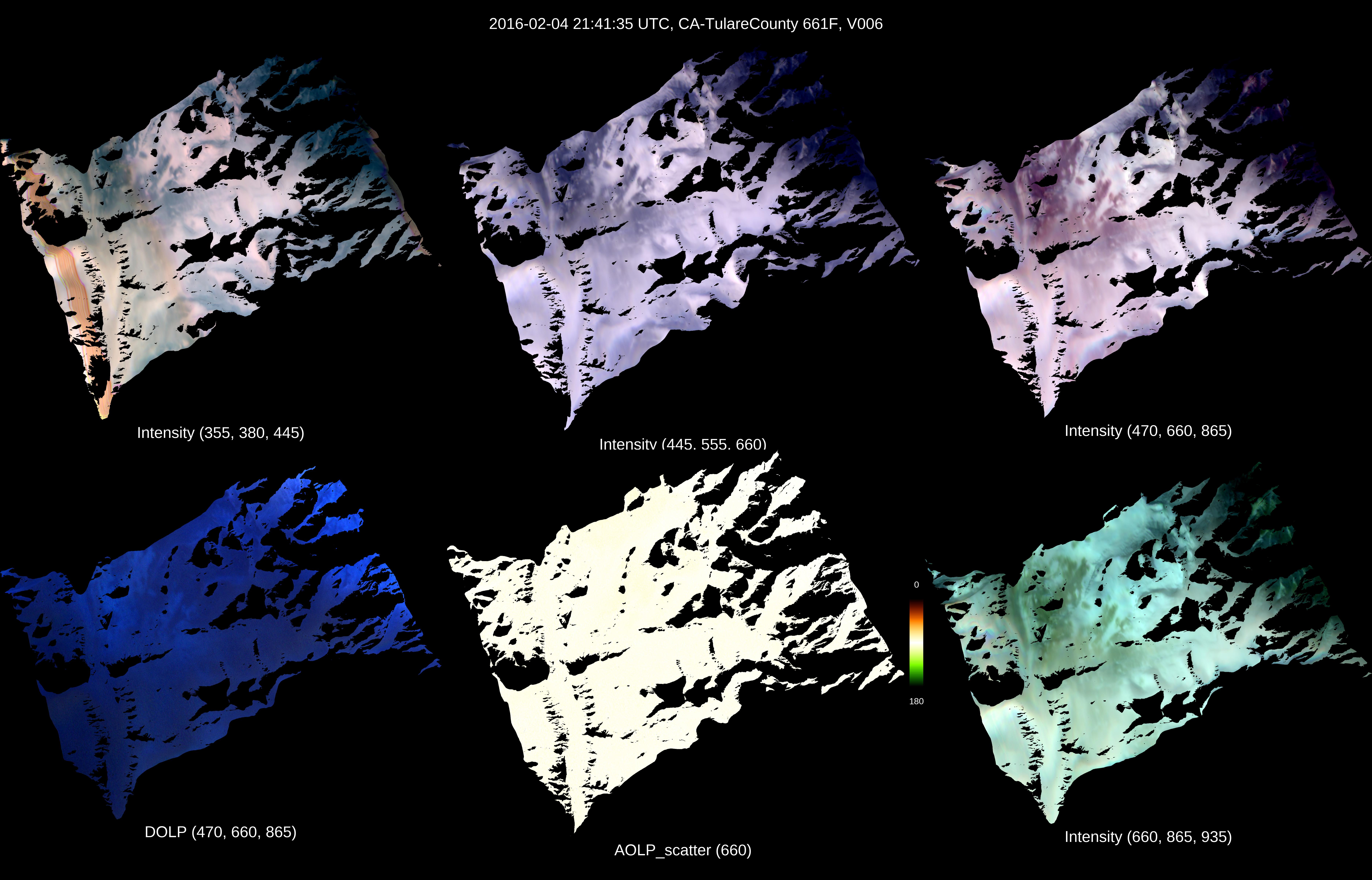
CA-TulareCounty Direct

20160204 - 214135Z

imagery thumbnail
Full JPG | HDF | KML

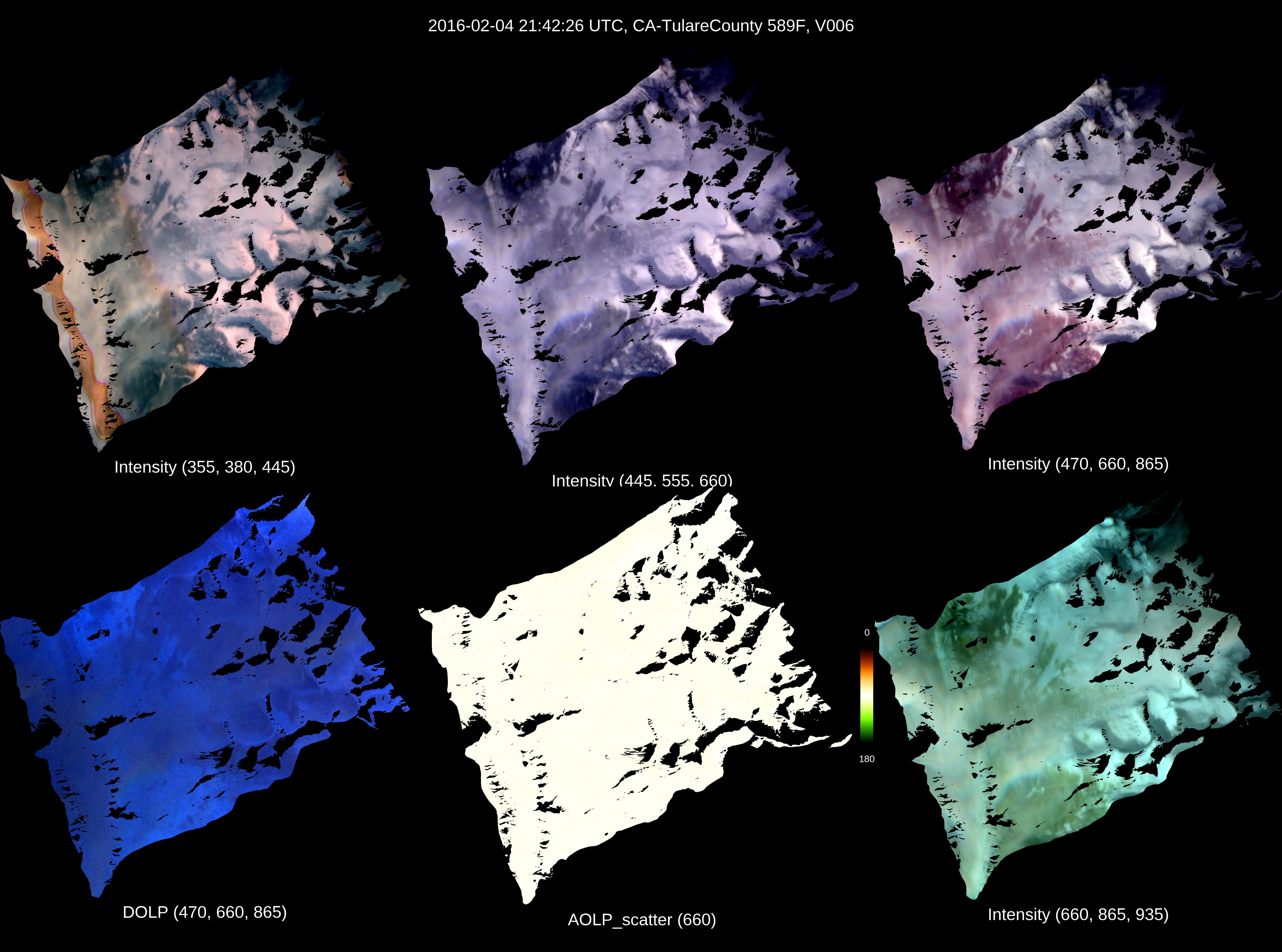
CA-TulareCounty Direct

20160204 - 214226Z

imagery thumbnail
Full JPG | HDF | KML

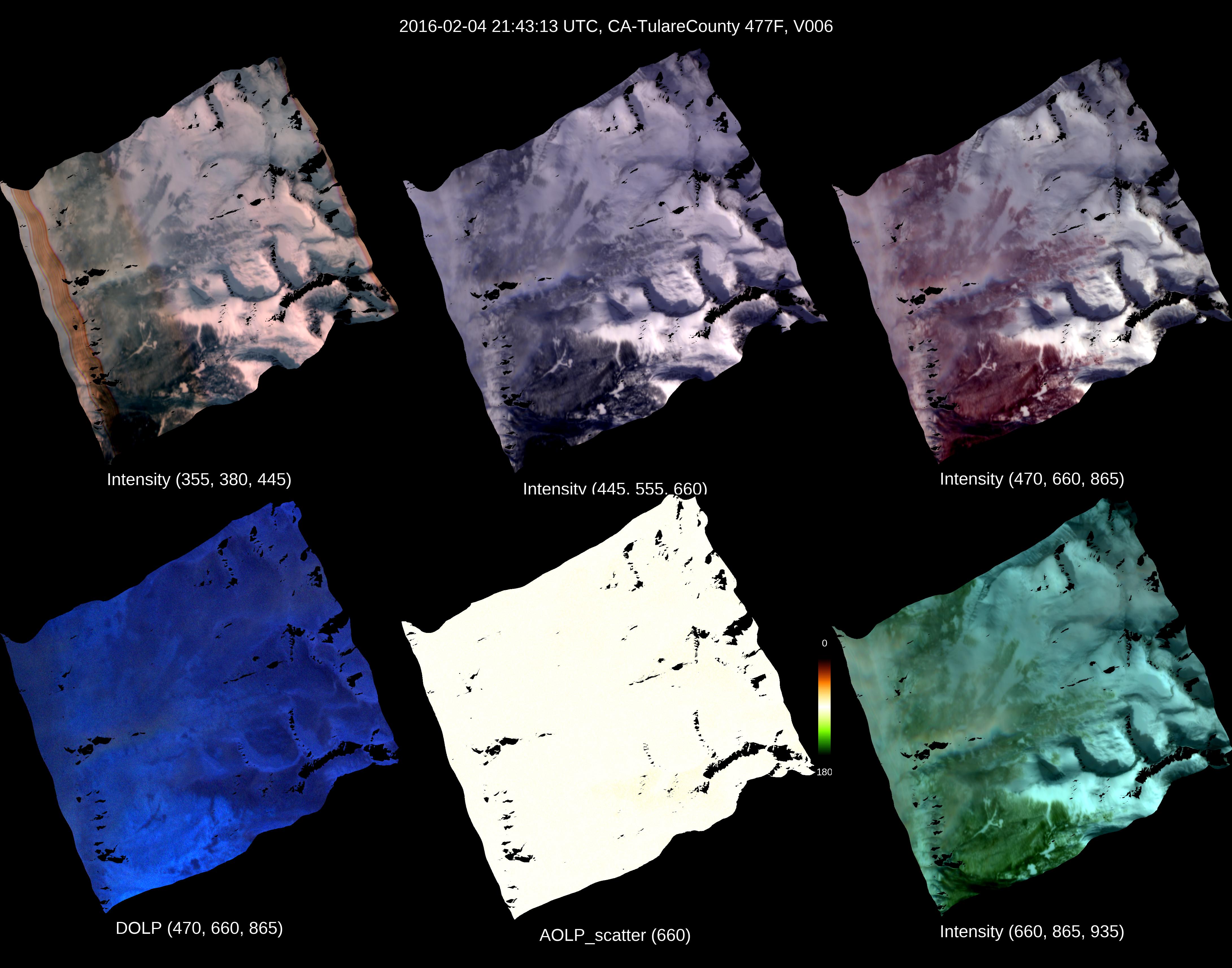
CA-TulareCounty Direct

20160204 - 214313Z

imagery thumbnail
Full JPG | HDF | KML

CA-TulareCounty Direct

20160204 - 214358Z

imagery thumbnail
Full JPG | HDF | KML

CA-TulareCounty Direct

20160204 - 214445Z

imagery thumbnail
Full JPG | HDF | KML

CA-TulareCounty Direct

20160204 - 214531Z

imagery thumbnail
Full JPG | HDF | KML

CA-TulareCounty Direct

20160204 - 214617Z

imagery thumbnail
Full JPG | HDF | KML

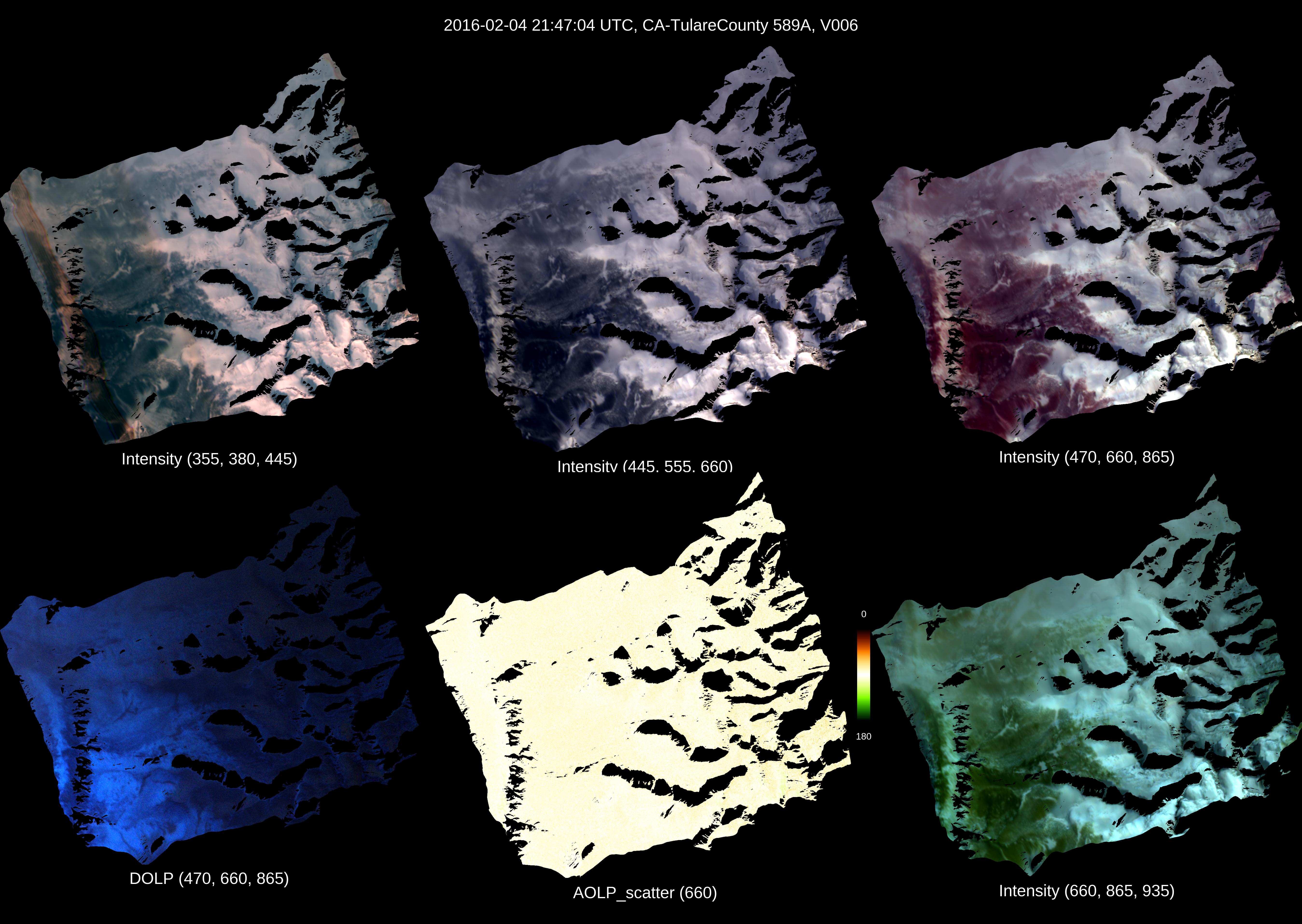
CA-TulareCounty Direct

20160204 - 214704Z

imagery thumbnail
Full JPG | HDF | KML

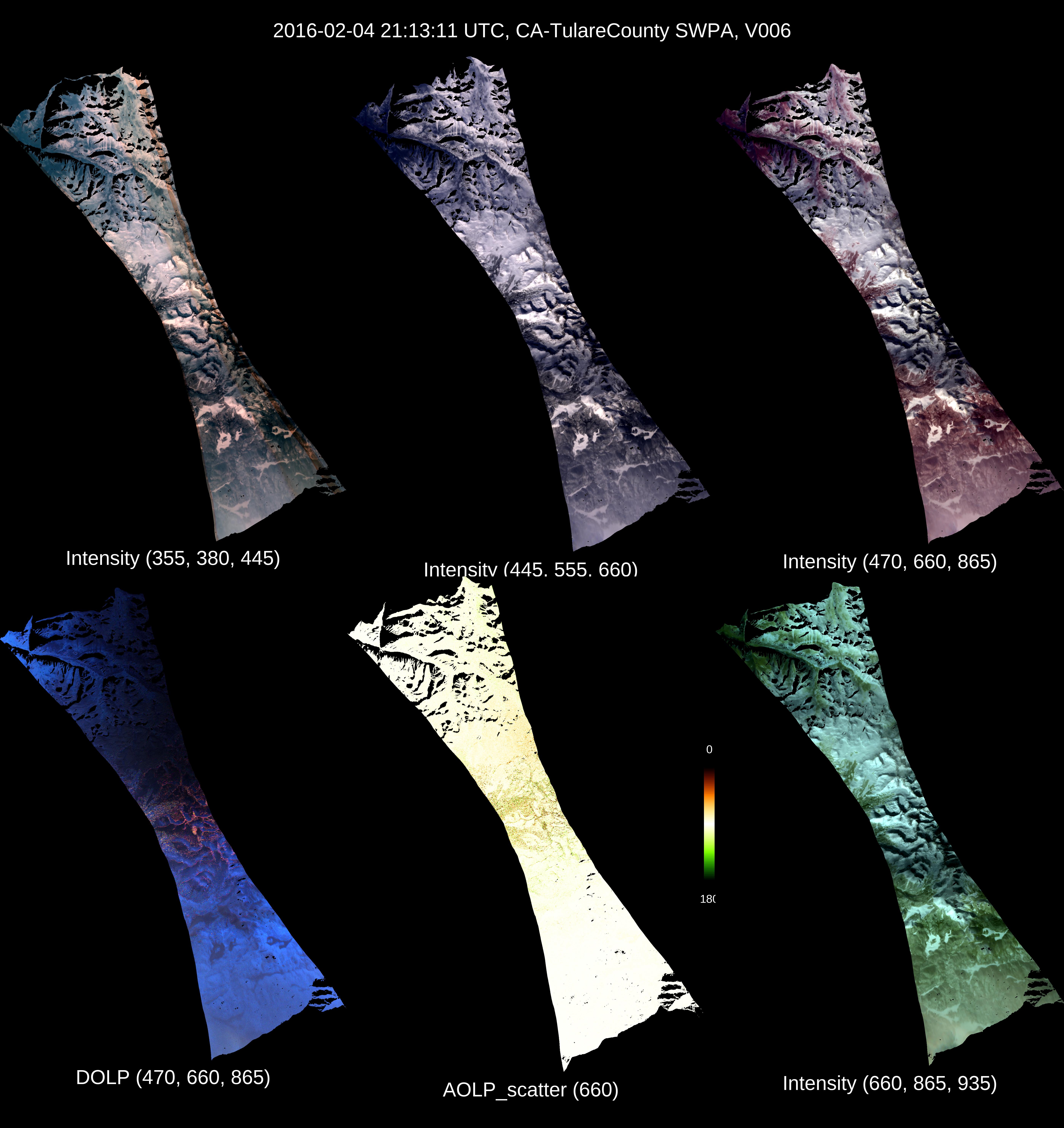
CA-TulareCounty Indirect

20160204 - 211311Z

imagery thumbnail
Full JPG | HDF | KML

The file name structure is as follows:

AirMSPI_ER2_GRP_ELLIPSOID_yyyymmdd_hhmmssZ_tttt_aaa[A,N,F]_Fff_Vvvv.hdf

or

AirMSPI_ER2_GRP_TERRAIN_yyyymmdd_hhmmssZ_tttt_aaa[A,N,F]_Fff_Vvvv.hdf


yyyymmdd: Year-month-day

hhmmss: Hour-minute-second in UTC of the central observation

tttt: Target name

aaa: Mean viewing angle (reported to the nearest tenth of a degree x 10)

Fff: File format version

Vvvv: Version number

For more information, see the Data Product Specifications (DPS)