Tracking Aerosol Convection ExpeRiment – Air Quality
The TRacking Aerosol Convection ExpeRiment – Air Quality (TRACER-AQ) campaign was a field study co-sponsored by NASA and TCEQ (Texas Commission on Environmental Quality), with partners from DOE (Department of Energy) TRacking Aerosol Convection ExpeRiment (TRACER), and several academic institutions. This synergistic effort aimed to gain an updated understanding in photochemistry and meteorological impact on ozone formation in the Houston region, particularly around the Houston Ship Channel, Galveston Bay, and the Gulf of America; and provide observations for evaluating air quality models and satellite observations.
The primary TRACER-AQ field observations period lasted from mid-August to late September 2021, coinciding with the peak ozone season in East Texas, with a second deployment in summer 2022 with a subset of ground-based assets. The observing system included airborne remote sensing, mobile (boat/vehicle) laboratories, and stationary ground-based assets.
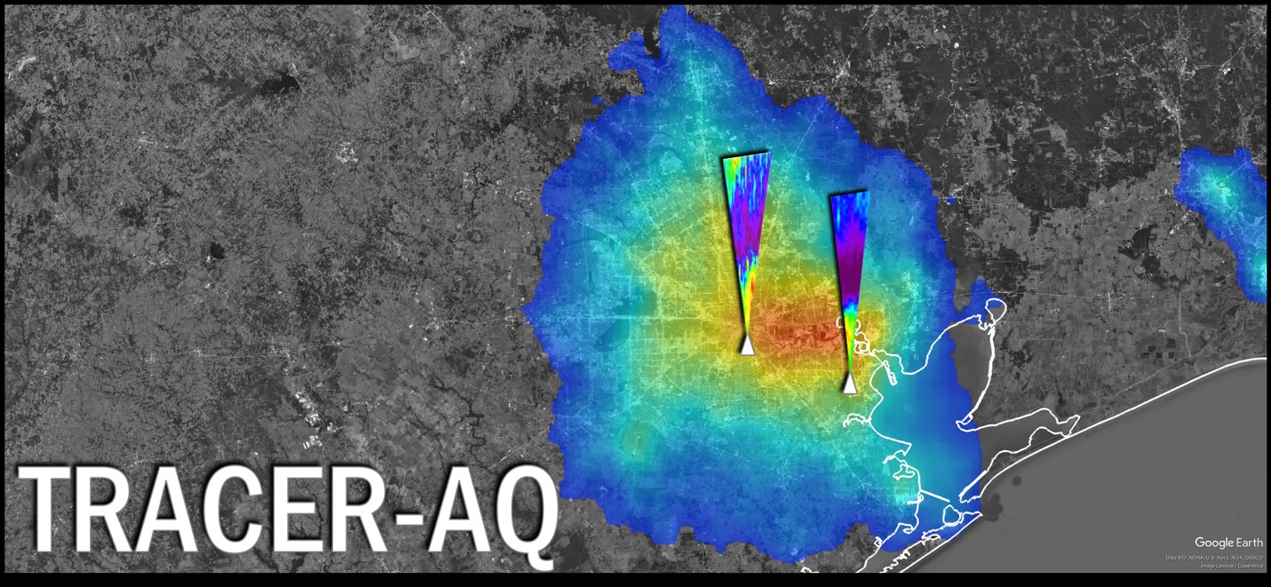
The airborne component was based on the NASA Gulfstream V aircraft instrumented with GCAS (GEOCAPE Airborne Simulator) for making measurements of column NO2 and HCHO as well as a lidar system, HSRL-2 (High Spectral Resolution Lidar-2), to measure O3 and aerosol vertical profiles over the course of 12 flight days. Ground-based assets included ground-based ozone lidars from the Tropospheric Ozone Lidar Network (TOLNet), ceilometers, Pandora spectrometers, AErosol RObotic NETwork (AERONET) remote sensors, ozonesondes, and stationary and mobile laboratories of in situ air quality and meteorological observations. This coordinated observing system provided updated or unseen perspectives in spatial and temporal distribution of the key photochemical species and atmospheric structure information, particularly with a focus on the temporal evolution of observations throughout the daytime in preparation for upcoming geostationary satellite air quality observations.
Project DOI: 10.5067/ASDC/SUBORBITAL/TRACERAQ/DATA001
Disciplines: Field Campaigns
| Collection | Disciplines | Spatial | Temporal |
|---|---|---|---|
|
TRACERAQ_AircraftRemoteSensing_GV_GCAS_Data_1
TRACER-AQ JSC G-V Aircraft Remotely Sensed GEOstationary Coastal and Air Pollution Events (GEO-CAPE) Airborne Simulator (GCAS) Data |
Field Campaigns |
Spatial Coverage: (S: 25.86, N: 34.57), (W: -96.56, E: -87.41) |
Temporal Coverage: 2021-08-09 - 2021-09-29 |
|
TRACERAQ_AircraftRemoteSensing_GV_HSRL2_Data_1
TRACER-AQ JSC G-V Aircraft Remotely Sensed High Spectral Resolution Lidar-2 (HSRL-2) Data |
Aerosols, Clouds, Radiation Budget |
Spatial Coverage: (S: 25.87, N: 30.65), (W: -96.45, E: -87.42) |
Temporal Coverage: 2021-08-09 - 2021-09-29 |
|
TRACERAQ_Ground_LaPorte_Data_1
TRACER-AQ La Porte Ground Site Data |
Field Campaigns |
Spatial Coverage: (S: 26.66, N: 29.68), (W: -95.07, E: -95.05) |
Temporal Coverage: 2021-08-09 - 2021-09-30 |
|
TRACERAQ_Pandora_Data_1
TRACER-AQ Pandora Column Observations |
Field Campaigns |
Spatial Coverage: (S: 29.66, N: 29.91), (W: -95.35, E: -95.05) |
Temporal Coverage: 2021-08-01 - 2021-10-01 |
|
TRACERAQ_Sondes_Data_1
TRACER-AQ Ozonesondes/Radiosondes Data |
Tropospheric Composition |
Spatial Coverage: (S: 26, N: 33), (W: -98, E: -90) |
Temporal Coverage: 2021-06-04 - 2022-10-08 |
TRACER-AQ Mission Publications
Goldberg, Daniel L.; De Foy, Benjamin; Nawaz, M. Omar; Johnson, Jeremiah; Yarwood, Greg; Judd, Laura (2024). Quantifying NOx Emission Sources in Houston, Texas Using Remote Sensing Aircraft Measurements and Source Apportionment Regression Models.