Synergistic TEMPO Air Quality Science

Campaign Documentation
Project Documentation
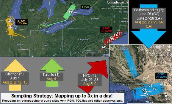
- STAQS Map including measurement areas of interest for flight and ground locations (The colored blocks on the map represent of locations mapped by NASA aircraft during STAQS with noted flight dates. White circles show ground locations for measurements (PGN and TOLNet) supported by STAQS. Dates in yellow are those that coincide with TEMPO observations.)
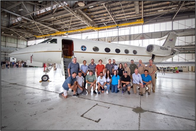
- Group photo 1 (People)
- Group photo 2 (People)
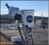
- Pandora sensor (Instrument)